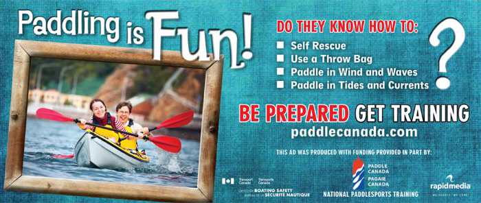
Designed by paddlers, to ensure continued coastal access by paddlers.
This is a very important issue as you can imagine the price of prime ocean access real estate properties are going up, and soon there would no where to stop and pitch a tent…
The BC Marine Trails Network Association is a BC based registered society dedicated to the creation of a marine network of campsites and access points along the coastline of British Columbia. As written in the ‘History of the BCMTNA’ major progress began on this initiative in 2007. The success of the BCMTNA to date rests with our hard working volunteers and dialogue and consultation with First Nations, other stakeholder groups, and government agencies.
Visit their website and access for free the awesome maps they have designed to give you the information you need to plan your next paddling trip

As you zoom in to a location you get more info about the site, quality of camping, coordinates, costs….
Then sign up for their newsletter because this is happening right now, and it’s an on-going process requiring help from all paddlers…
Last news letter quote:
”
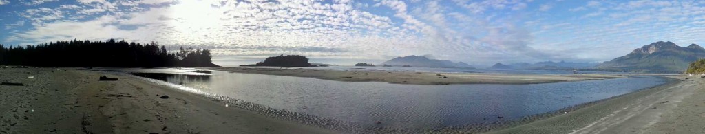
We’ve surveyed a lot of sites
along the coastline!
The Vancouver aquarium says the BC
coastline is 25 750 km long; our estimates
have been between 25 000 and 27 000 so
we’re happy to glum onto this official-type
figure. We’ve surveyed over 1500 sites for
the trail. Our goal has been to have enough
sites to create a safe network of routes no
matter which way you paddle: north, east,
west or south. And we’re still discovering
new places.
We are on the verge of submitting campsites and
launch sites for the entire length of the island. We
have two more sections to submit to our
government partner: Tofino to Victoria and
Nanaimo to Courtenay. We’re excited this much
work has been completed.
Kayakers and canoeists are asking for
more sites on our map…
Yes, we’re only showing two official trails on our
map: Gulf Islands and West Coast Vancouver
Island North. Most of the campsites are in a hidden
layer. We’ve been waiting for an approval process
to make this information one mouse click away. As
an association we don’t want to ruffle any feathers.
Nonetheless, most of these campsites are visited
now by kayakers; and a high proportion of the sites
are featured in various West Coast kayaking books,
online or in magazines such as Coast and Kayak.
We’re hoping to un-hide the majority of the sites.
Pay attention to our e-news, Facebook or Twitter
when we will open up the sites!…..